
45 Maps covering 200 years plus of the changing face of Launceston.

Launceston Map from the medieval period.

Map of Launceston post the civil war.

Ancient Map of Launceston.

1806 Map drawn by Robert Dawson.

1832 Map of Launceston

Map of Launceston district in 1808 by John Hewitt.

1834 Launceston Map.

1835 Map of Launceston.

1842 Launceston Map.

1842 Newport Map.

1845 Launceston Map.

1853 Map of the town centre.

1853 Map of the town centre.

1853 Map of Newport.

1853 Map of Newport.

1853 Map of Northgate Street.

1853 Map of Northgate Street.

1853 Map of Race Hill.

1853 Map of Priory Park.

1853 Map of St. Stephens.

1853 Map of St. Stephens.

1853 Map of St. Thomas Road.

1853 Map of the Tanneries at Newport.
.")
1853 Map of The Walk and Horse Lane (later Dockacre Road).

1853 Map of Town Mills.

1853 Map of Pages Cross and the Workhouse.

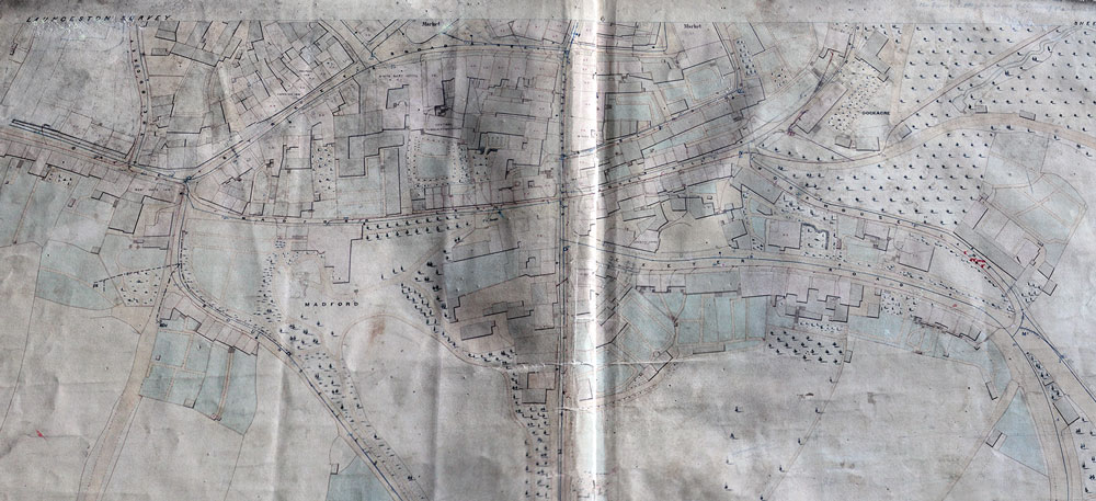
Launceston town map from the mid 19th century

1871 map of Newport.

1870's Map of Launceston.

1880 Launceston Map.

Area of Noahs Ark, Westgate Street, Launceston.

Westgate Street, Launceston Map from the Werrington Sale by Captain Deakin.

1907 Lawhitton Map.

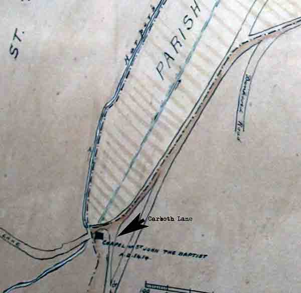
Boundary of St. Leonards Leper Hospital.

Map of Hurdon and Scarne.

1930 Map of Pennygillam, Launceston.

Pennygillam Camp Map.

German Invasion Map of Launceston from the Second World War.

Launceston Street Map from the 1950's.

1938 map of St. Thomas.

1960's town map.

Pennygillam and Western Road map pre 1960's.

Scarne, Launceston from the early 1970's.

Scarne, Launceston from the early 1970's.
Visits: 614